DSA Ocean provides high-resolution aerial UAV surveys for marine and aquaculture infrastructure, delivering accurate, georeferenced datasets that support engineering, asset management, and operational decision-making. Our surveys provide centimetre-scale imagery, orthomosaics, and 3D models that integrate directly with GIS, CAD, and engineering workflows, helping clients assess condition, verify infrastructure layouts, document changes, and maintain accurate records.
Our UAV surveys provide high-resolution imagery with typical ground resolutions of approximately 1–3 cm per pixel. This level of detail supports condition assessments, infrastructure measurements, asset inventories, and engineering reviews. Survey outputs are fully georeferenced and suitable for integration into GIS, CAD, and asset management systems.
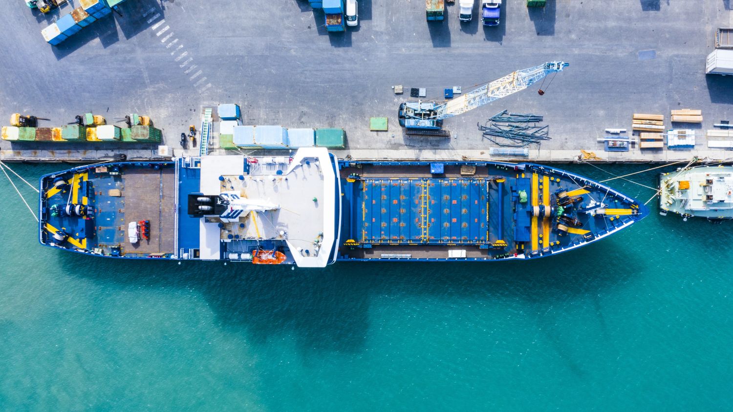
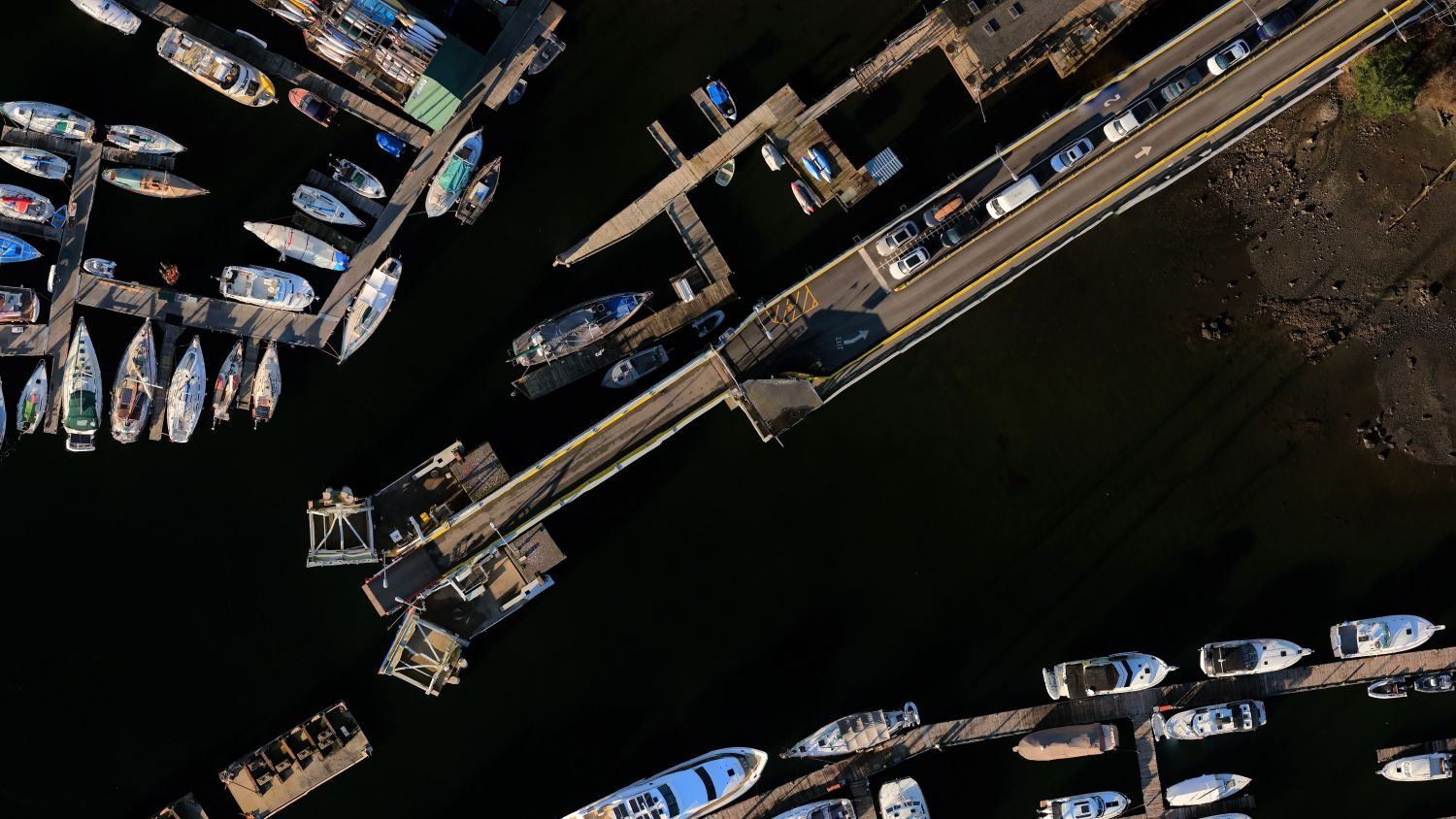
We support ports, marine terminals, ferry operators, small craft harbours, and other waterfront facilities with:
Accurate survey data helps asset owners make informed maintenance, rehabilitation, and operational decisions.
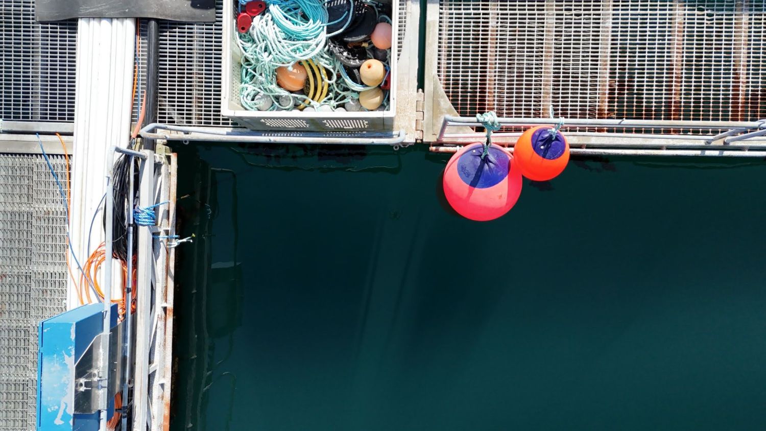
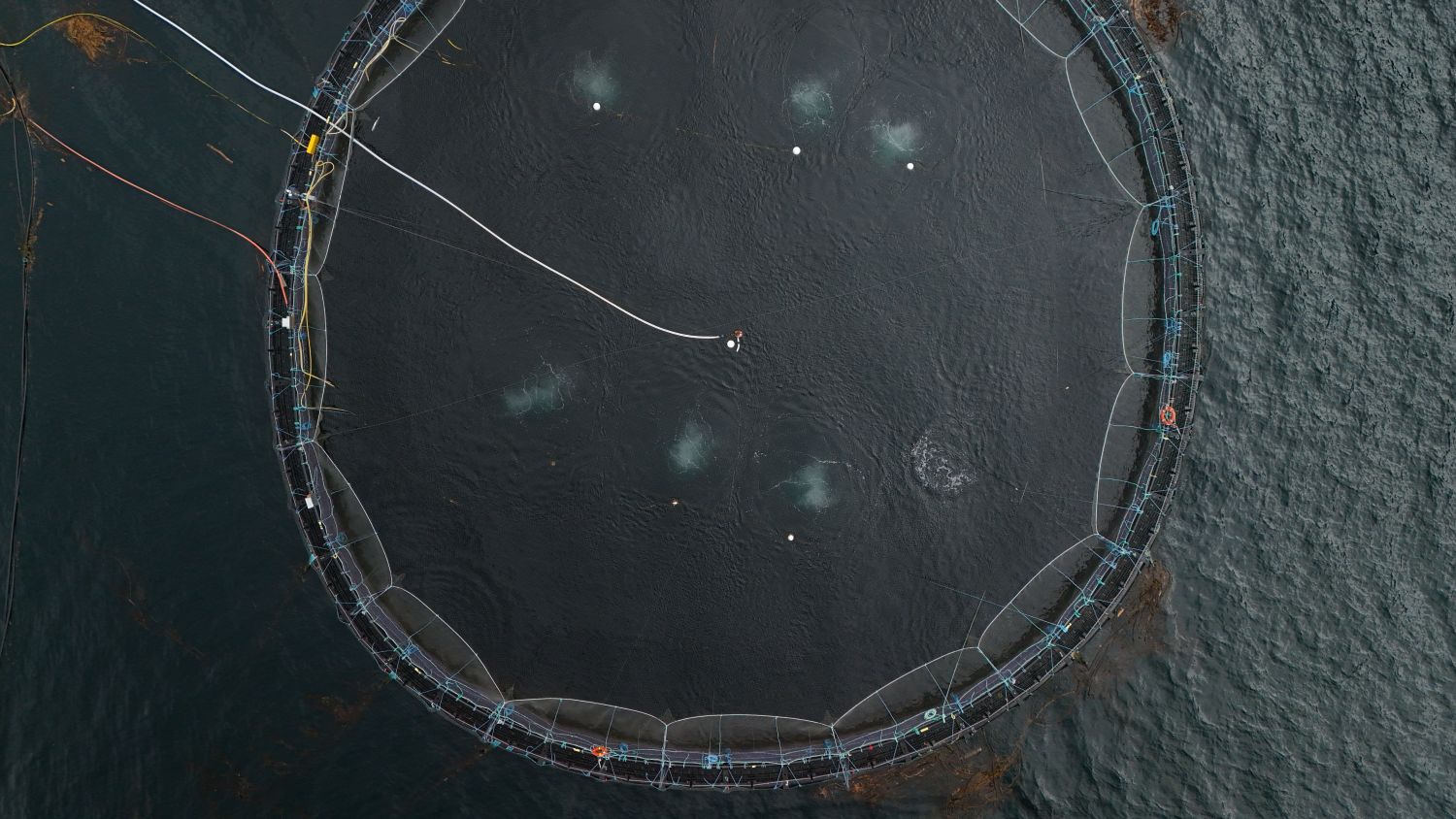
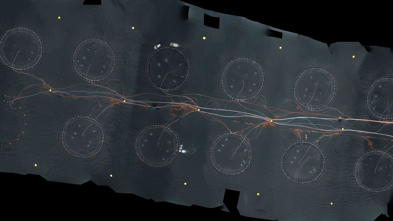
UAV surveys provide an efficient and safe method for documenting and assessing aquaculture infrastructure, including pens, grids, barges, walkways, feed systems, floats, and mooring layouts. Repeat surveys support compliance, operational planning, infrastructure management, and long-term asset tracking.
Typical deliverables include:
All deliverables are prepared for integration with engineering analyses, GIS systems, and asset management workflows.
Unlike survey providers focused solely on data collection, DSA Ocean integrates survey results directly into ocean engineering and asset management workflows. Our team combines expertise in marine infrastructure, aquaculture systems, geospatial data, and engineering analysis to deliver practical information that supports planning, design, maintenance, compliance, and risk management.